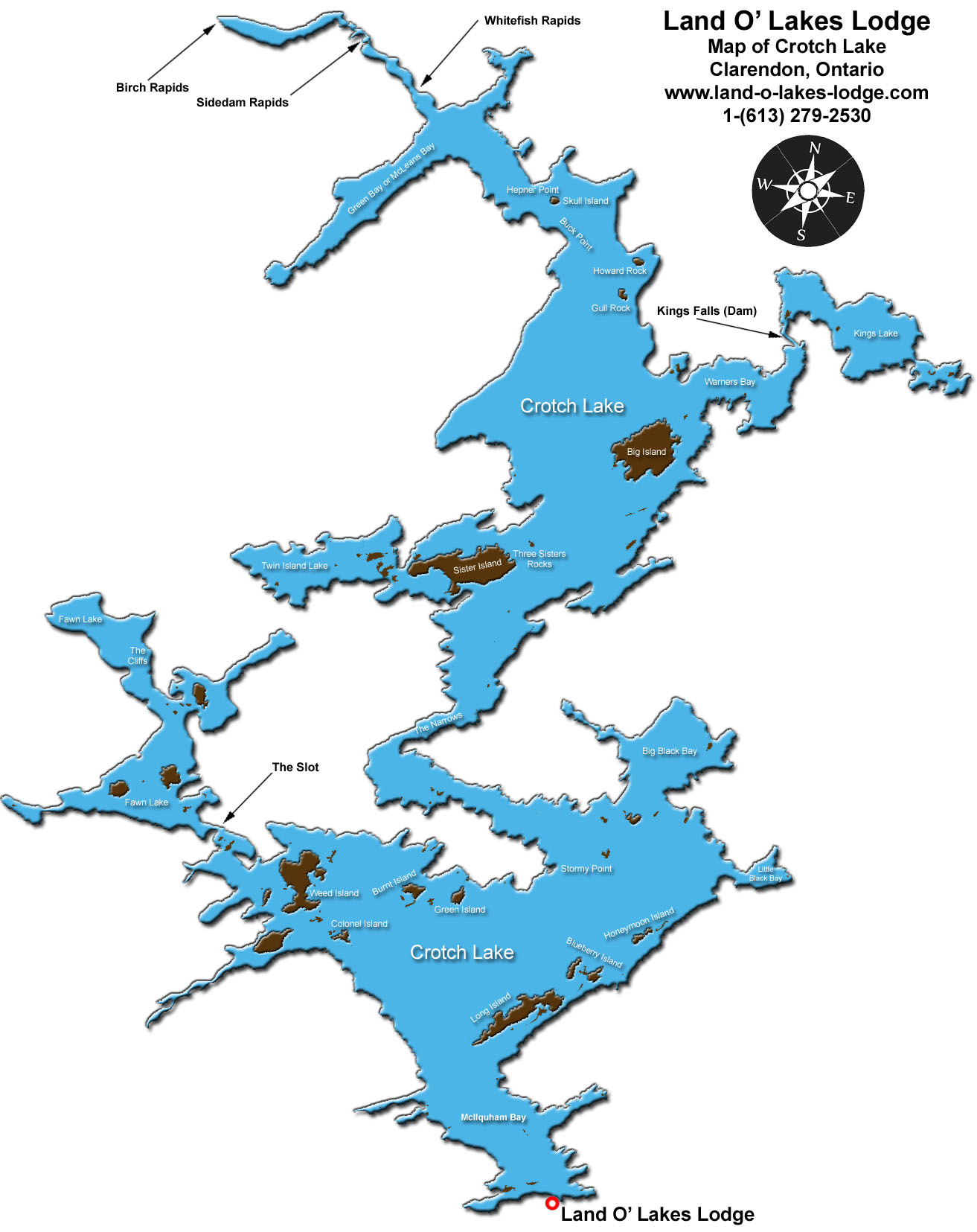

If you give us the location of your lake, we can view the lake on Google Earth with a huge screen resolution and take a large screen capture of the satellite image. Then we use our different graphics and 3D animation software to make a detailed map of your lake. Labels can be added for the different bays and islands.
The map can be switched to gray-scale and imported into Adobe Acrobat so your customers can print their own lake maps from your website to use on their fishing or hunting trips.
Having detailed lake maps is a really nice feature for lodges and it's something their customers can use and enjoy.